The training program is an integral part of the consultation services provided as an in-house initiative to develop professional skills and guide participants within the organization. Carefully designed by the “Resilience Edge” team and delivered by experienced trainers, it ensures exceptional learning outcomes. To implement the program, the organization must arrange for a minimum of ten participants and handle all necessary logistical arrangements.
Course Description:
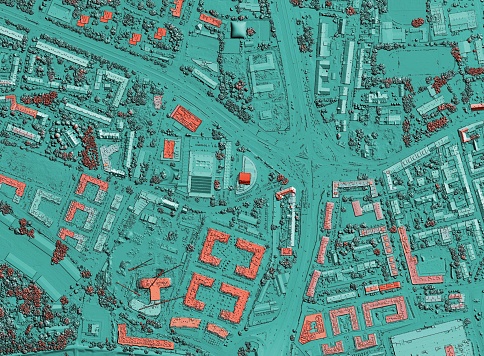
The course is designed to provide participants with a comprehensive understanding of how Geographic Information Systems (GIS) can be utilized in the field of emergency management. Through a combination of theoretical knowledge and hands-on exercises, participants will learn how to leverage GIS technology to enhance preparedness, response, recovery, and mitigation efforts. The course will cover various GIS applications, including hazard mapping, situational awareness, resource allocation, and decision support systems.
Course Objectives:
– To introduce participants to the concepts and principles of GIS in the context of emergency management
– To equip participants with the skills to effectively use GIS tools and software for emergency response and planning
– To demonstrate how GIS can enhance situational awareness, decision-making, and resource allocation during emergencies
– To provide practical knowledge on hazard mapping, risk assessment, and spatial analysis using GIS technology
Course Learning Outcomes:
Upon completion of this course, participants will be able to:
– Understand the fundamental concepts of GIS and its application in emergency management
– Utilize GIS software to collect, manage, analyze, and visualize geospatial data for emergency response and planning
– Create hazard maps and perform risk assessments using GIS techniques
– Enhance situational awareness and decision-making through the integration of GIS data and real-time information
– Apply GIS tools for resource allocation, evacuation planning, and post-disaster recovery efforts
Who Should Attend the Course:
This course is suitable for professionals and individuals involved in emergency management, disaster response, and planning, including:
– Emergency managers and coordinators
– GIS specialists and analysts
– Disaster risk reduction professionals
– Urban planners and environmental scientists
– Government officials and policymakers
– Researchers and academics in the field of emergency management
– Individuals interested in leveraging GIS technology for emergency response and planning
Course Features
- Lectures 20
- Quiz 0
- Duration 5 days
- Skill level Intermediate
- Language English
- Students 50
- Certificate Yes
- Assessments Self
- 5 Sections
- 20 Lessons
- 5 Days
- Day 1: Introduction to GIS for Emergency Management4
- Day 2: Hazard Mapping and Risk Assessment4
- Day 3: Situational Awareness and Decision Support Systems4
- Day 4: Resource Allocation and Evacuation Planning4
- Day 5: Post-Disaster Recovery and Mitigation4


